The Ultimate Norway Road Trip
Car & Road Trips
Car & Road Trips
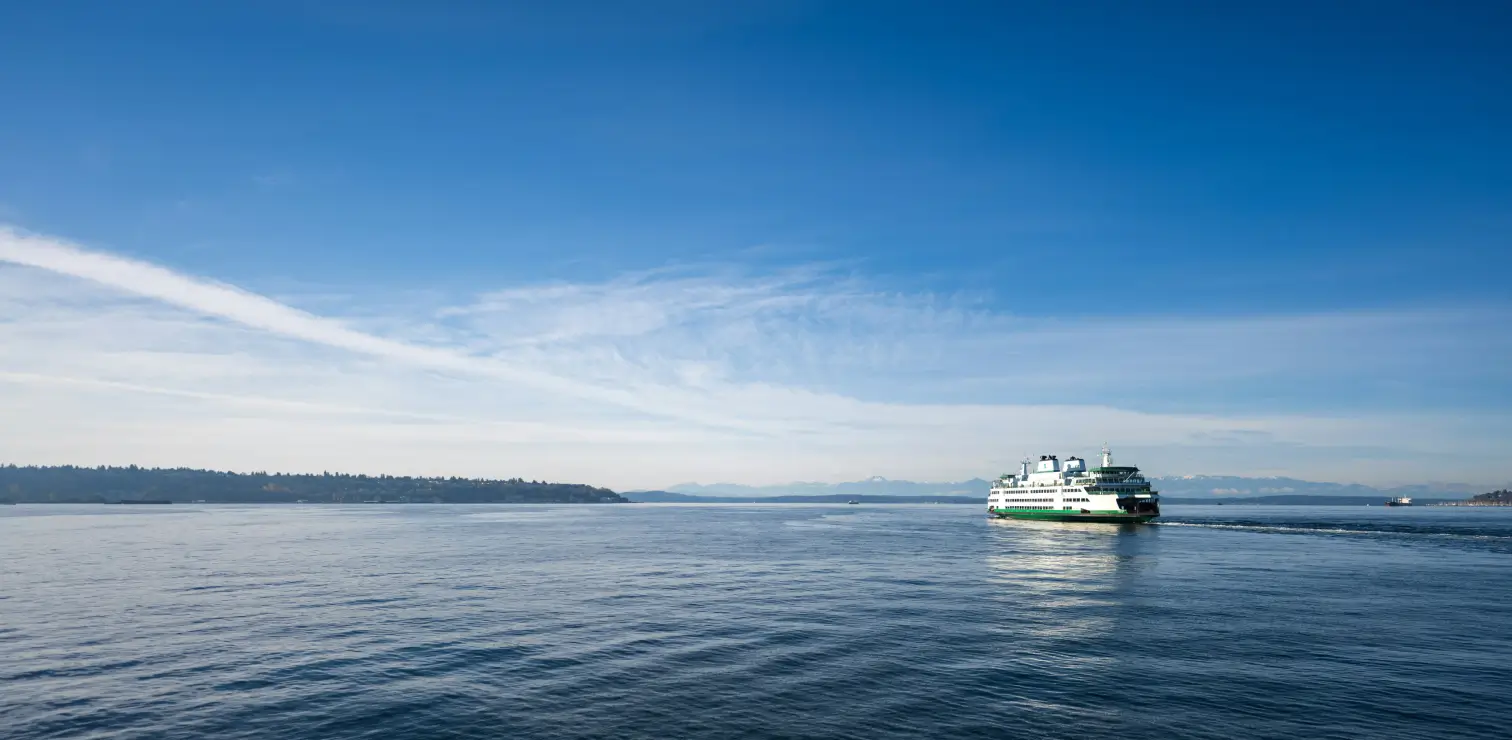

What better way to explore Norway than a road trip? This 18-day loop combines everything that's great about Norway, including Oslo's waterfront, the white-painted towns of the southern coast, Bergen's painted wharf, the deepest fjords in Europe, the hairpins of Trollstigen, the surf-lashed Atlantic Road, and medieval Trondheim.
It covers approximately 1,700 miles (2,700 km), with ferries doing the heavy lifting wherever Norway's coastline gets in the way. It's also easy to shorten. You don't have to complete the full circle: look out for the Exit point and Skip by train notes throughout this guide, and see the summary in Your 18-Day Route for the best places to cut the trip short or take a shortcut. The timing couldn't be better, either. After Erling Haaland's stellar performance in the 2026 World Cup put Norway back in the global spotlight, millions have been wondering how to see it for themselves. This guide is the answer.
As this itinerary follows a circular route, the most convenient option is to fly into Oslo, complete the road trip, and return to Oslo for your flight home. This avoids one-way rental fees and unnecessary backtracking. Norway also has several smaller airports that can be useful for reaching different regions, so consider your route when choosing where to fly.
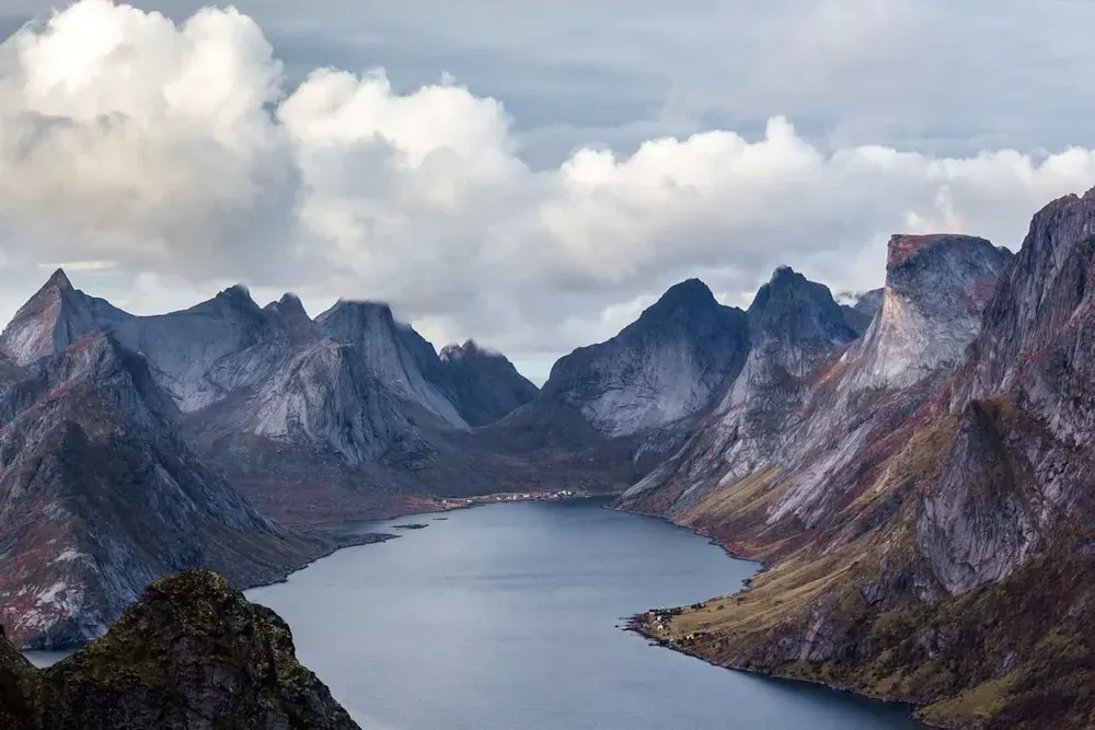
If you're already in Europe, ferries are a great option for this trip. The most popular crossing by far is the Hirtshals to Kristiansand ferry. Color Line and Fjord Line offer up to 29 sailings a week all year, taking 3 hours and 19 minutes on average and as little as 2 hours and 25 minutes on the fastest service.
Kristiansand is Day 3 of this route, so you can join the loop there and finish in Oslo. Fjord Line also accommodates cars, motor homes, and trailers on all its routes, as covered in A Trip to Norway's West Coast with Fjord Line.
| Crossing | Operator | Typical time | Sailings / week | Why choose it |
|---|---|---|---|---|
| Hirtshals → Kristiansand | Color Line & Fjord Line | 3h 19m (fastest 2h 25m) | 29 | Quickest crossing; joins the route at Day 3 |
| Hirtshals → Larvik | Color Line | 4h 00m | 13 | About two hours from Oslo by road |
| Hirtshals → Stavanger | Fjord Line | 11h 45m | 7 | Overnight sailing; starts the route at Day 4 |
| Hirtshals → Bergen | Fjord Line | 17h 45m | 7 | Straight into fjord country; calls at Stavanger en route |
| Kiel → Oslo | Color Line | 20h 00m | 7 | Easy for drivers from Germany; arrives in the capital |
| Sandefjord → Strömstad | Color Line | 2h 30m | 13 | Links Norway with Sweden's west coast |
For a flight-free round trip, arrive in Kristiansand and follow the route clockwise from Day 3, finishing in Oslo. From Oslo, drive two hours to Larvik for the Color Line ferry to Hirtshals. You can also combine a trip to Norway with Copenhagen, Stockholm, and Helsinki using overnight ferry crossings.
| Day | Route | Distance | Drive time | Highlights |
|---|---|---|---|---|
| 1–2 | Oslo | On foot | – | Opera House, MUNCH, Vigeland Park |
| 3 | Oslo → Kristiansand | 210 mi (340 km) | 4.5 hrs | White-painted coastal towns |
| 4 | Kristiansand → Lindesnes → Stavanger | 190 mi (310 km) | 5 hrs | Lindesnes Lighthouse |
| 5 | Stavanger and Preikestolen | 50 mi (80 km) round trip | 1.5 hrs | Pulpit Rock hike |
| 6 | Stavanger → Bergen | Ferry | 5h 30m sailing | Fjord Line car ferry |
| 7 | Bergen | On foot | – | Bryggen, Fløyen |
| 8 | Bergen → Eidfjord | 100 mi (160 km) | 2.5–3 hrs | Hardanger Bridge, Vøringsfossen |
| 9 | Eidfjord → Voss → Flåm | 85 mi (135 km) | 2.5 hrs | Gudvangen, Flåm Railway |
| 10 | Flåm → Stegastein → Lærdal → Sogndal | 65 mi (105 km) | 3 hrs + ferry | Snow Road, Borgund Stave Church |
| 11 | Sogndal → Fjærland → Stryn | 100 mi (160 km) | 2.75 hrs | Glacier museum, Briksdal |
| 12 | Stryn → Geiranger → Åndalsnes | 130 mi (210 km) | 5–6 hrs + ferry | Dalsnibba, Trollstigen |
| 13 | Åndalsnes → Ålesund | 75 mi (120 km) | 2 hrs | Art Nouveau town centre |
| 14 | Ålesund → Molde → Kristiansund | 110 mi (180 km) | 3.5 hrs + ferry | Atlantic Road |
| 15 | Kristiansund → Trondheim | 175 mi (285 km) | 4.75 hrs | Nidaros Cathedral |
| 16 | Trondheim → Dovrefjell | 155 mi (250 km) | 3.25 hrs | Musk ox country |
| 17 | Dovrefjell → Lillehammer | 110 mi (180 km) | 2.5 hrs | Ringebu Stave Church |
| 18 | Lillehammer → Oslo | 110 mi (180 km) | 2.25 hrs | Lake Mjøsa, fly home |
You don't have to drive all 1,700 miles. The route has several natural places to get off the loop, and a few stretches that can be swapped for a train or a flight. Bear in mind that dropping a rental car in a different city usually incurs a one-way fee, so confirm this when you book.
Be aware that the Nordfjord stretch between Sogndal and Åndalsnes (Days 10–12) has no railway and few easy exits. If you're not planning to do it all, we recommend leaving the loop either before Sogndal or after Åndalsnes.
Before travelling, make sure your passport, insurance, payment methods, and mobile data are arranged.
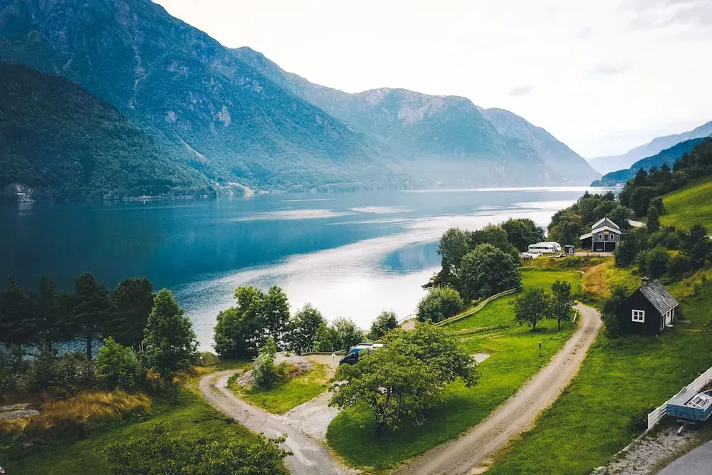
Start where the fjord meets the city. Oslo's Bjørvika waterfront is a skyline of bold new architecture, and it's all within walking distance of Oslo S. The marble Opera House rises straight out of the harbour, and you can walk up its sloping roof for free. A few minutes along the shore, MUNCH holds the world's largest collection of Edvard Munch's work, and the National Museum is the largest art museum in the Nordic countries. Climb to the ramparts of Akershus Fortress for harbour views, then refuel at the Mathallen food hall.
On day two, ride tram 12 to Vigeland Park, where more than 200 granite and bronze sculptures by Gustav Vigeland crowd a sprawling park. Then take the Bygdøy ferry from the pier beside City Hall (Rådhusbrygge) for the short crossing to the Fram Museum and the Kon-Tiki Museum.
Please note that the Viking Ship Museum is closed for a rebuild into the Museum of the Viking Age, with a reopening currently scheduled for late 2027. For Viking artifacts in the meantime, visit the Historical Museum in the city centre. Soccer fans can also take the T-bane to Ullevaal Stadion, home of the national team that Haaland now leads, or ride line 1 up to the Holmenkollen ski jump for a city-wide view.
Skip by train: Want to go straight to the fjords? The Bergen Line (Bergensbanen) runs from Oslo S to Bergen in roughly 6.5 to 7 hours, crossing the Hardangervidda plateau and one of Europe's highest mainline railway routes. Take the train, pick up a rental car in Bergen, and read on from the Bergen section. This skips Days 3 to 6 and turns the trip into a 12-day itinerary. Prefer to see the south coast without driving? The Sørlandsbanen train links Oslo with Kristiansand in around 4.5 hours and continues to Stavanger.

The south coast is Norway at its finest, with white clapboard towns, polished granite skerries, and harbours full of sailboats.
Directions, Oslo to Kristiansand (210 miles / 340 km, 4.5 hours): From central Oslo, follow signs for the E18 west and stay on the E18 the whole way. It passes Drammen, Sandefjord, Larvik, Porsgrunn, Arendal, Grimstad, and Lillesand before reaching Kristiansand.
In Kristiansand, explore Posebyen, one of the largest collections of low wooden buildings in Northern Europe. Eat on the Fiskebrygga fish pier and, if you have children, spend a morning at Kristiansand Dyrepark, the zoo and amusement park.
Exit point: Kristiansand is the first easy place to leave the trip. Kristiansand Airport, Kjevik, is a short drive from the city, the Sørlandsbanen train returns to Oslo in around 4.5 hours, and the Hirtshals to Kristiansand ferry is the natural way back to Denmark if you arrived by sea.
Directions, Kristiansand to Lindesnes to Stavanger (190 miles / 310 km, 5 hours plus stops): Take the E39 west for 40 km toward Mandal and Stavanger. At Vigeland, just west of Mandal, leave the E39 and follow the signs south for 19 miles (30 km) to Lindesnes Lighthouse. Rejoin the E39 at Vigeland and continue west through Lyngdal, Flekkefjord, and Egersund, then follow signs for Sandnes and Stavanger.
Skip by train: If you'd rather not drive this long day, the Sørlandsbanen train continues from Kristiansand to Stavanger in approximately three hours. You'll miss Lindesnes, which is difficult to reach without a car, but you can read on from the Stavanger and Preikestolen section with a fresh pair of eyes.
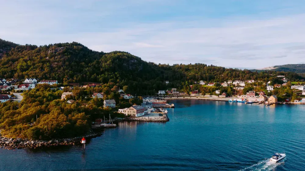
Stavanger combines a rich maritime and oil-industry heritage with a beautiful historic centre. Gamle Stavanger is home to more than 170 traditional white wooden houses dating from the 18th and 19th centuries, set along peaceful cobbled streets. Nearby, the colourful Øvre Holmegate and lively harbourfront add to the city's appeal, while the Norwegian Petroleum Museum explores the importance of North Sea oil to Norway's development.
The main highlight of the day is Preikestolen (Pulpit Rock), a flat-topped cliff climbing 604 metres above the Lysefjord. Before setting out, check the latest road and access information, as older route advice may no longer be accurate.
Directions, Stavanger to the Preikestolen trailhead (24 miles / 39 km, 40 minutes): Follow Rv 13 signs toward Tau, Jørpeland, and Røldal and drive through the 14.4 km Ryfylke Tunnel (a toll tunnel). Exit at Solbakk, continue on road 523 toward Jørpeland, and about 3 km past Jørpeland follow the brown signs for Preikestolen parking.
For more on this stretch of coast, including the Lysefjord and Kjeragbolten, see A Trip to Norway's West Coast with Fjord Line.
Exit point: Stavanger is another good place to wrap up a shorter trip. Stavanger Airport, Sola, has regular domestic and European flights, as well as trains running back to Oslo along the Sørlandsbanen. Alternatively, the Hirtshals to Stavanger ferry sails overnight if you're heading back to Denmark.
On Day 6, board the ferry with your car. The Stavanger to Bergen ferry with Fjord Line is available year-round and takes around 5 hours and 30 minutes.
Fjord Line sailings depart from the Risavika terminal, 20 to 30 minutes' drive southwest of Stavanger via the E39. Registering your car at check-in allows you up to 72 hours of free parking there. In Bergen, the ship docks at Jekteviksterminalen, within walking distance of the main sights. The Klostergarasjen and City Park garages are good places to leave the car.
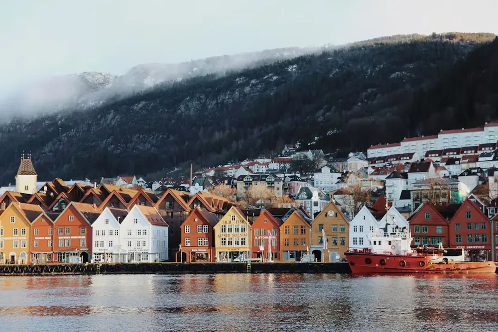
Bergen is a city located between seven mountains and the sea. Start at Bryggen, the UNESCO-listed Hanseatic wharf, whose rows of ocher, red, and mustard wooden buildings date back to the 14th century. Wander the alleys behind the façades, then ride the Fløibanen funicular up Mount Fløyen for a panorama of the city and fjords.
Exit point: Bergen is the best place to end a shorter trip. Bergen Airport, Flesland, is connected to the centre by the Bybanen light rail, and the Bergen Line train takes you back to Oslo in roughly 7 hours, a journey many travellers rate as a highlight in its own right. Joining here from Oslo by train? You're in the right place for Day 7.
Bergen is a perfect place to explore the fjords. Here are some popular routes:
Known among locals as the "fruit garden of Norway," Hardangerfjord is particularly beautiful in May, when apple and cherry trees cover its hillsides in blossom. The region is also home to some of Norway's most impressive engineering achievements and one of its most spectacular waterfalls, both within a short drive of each other.
Directions, Bergen to Eidfjord (100 miles / 160 km, 2.5 hours): Leave Bergen on the E16 east toward Voss. At Voss, turn south on Rv 13 toward Granvin and Hardanger, cross the Hardanger Bridge and proceed on Rv 7 for a few minutes to Eidfjord. For a more scenic but slightly longer route, leave the E16 at the Trengereid roundabout onto Rv 7 (the Hardanger Scenic Route). It passes Steinsdalsfossen, a 50-metre waterfall you can walk behind.
From Eidfjord village, follow Rv 7 through the Måbødalen valley for approximately 20 minutes to reach Vøringsfossen, one of Norway's most spectacular waterfalls. The water drops 182 metres in total, including a free fall of around 145 metres, into a dramatic granite canyon. Take in the views from the designated viewing platforms and the terrace at Fossli Hotel.
Skip by train: Short on time? Day 8 is the easiest day to drop. The Bergen Line train covers Bergen to Voss in roughly 1 hour 20 minutes (the drive takes about 1.5 hours), so you can skip Hardangerfjord and read on from the Voss, Gudvangen and Flåm section. You'll miss the Hardanger Bridge and Vøringsfossen, but you'll gain a full day.
Voss, the adventure-sports capital of western Norway, is located on a lake framed by mountains. Take the Voss Gondol up Mount Hanguren for spectacular views. From here the road descends into the Sognefjord country, and the scenery gets steeper with every mile.
Directions, Eidfjord to Voss to Flåm (85 miles / 135 km, about 2.5 hours): From Eidfjord, take Rv 7 back across the Hardanger Bridge, then Rv 13 to Voss. At Voss join the E16 northeast. The road climbs past Stalheim, where a hotel terrace overlooks the Nærøydal valley and, in summer, the steep old road Stalheimskleiva offers a thrilling alternative to the main road.
Gudvangen is found at the end of the Nærøyfjord, a UNESCO World Heritage fjord that narrows to roughly 250 metres. In summer, sightseeing boats sail the length of it. Flåm itself is small, with a big attraction: the Flåm Railway, a 20-kilometre line that climbs for about 55 minutes through 20 tunnels past Kjosfossen to Myrdal, one of the steepest standard-gauge railways in the world. Even if you skip the train, the Ægir brewpub's Viking-style hall is a great place for dinner.
Exit point: Both Voss and Myrdal sit on the Bergen Line, which makes this a smart place to leave the loop. From Voss, trains run back to Bergen in about 1 hour 20 minutes, or on to Oslo. From Flåm, ride the Flåm Railway up to Myrdal and change onto the Oslo-bound train.
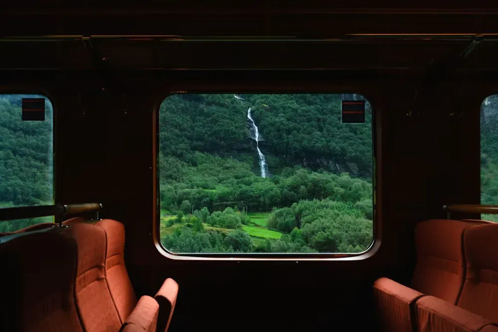
Day 10 is a highlight reel of what makes Norway's roads special. Experience a viewing platform on the edge of a cliff, a mountain pass that still holds snow in summer, and a road tunnel longer than any other on Earth.
Directions, Flåm to Lærdal over the Snow Road (about 35 miles / 55 km, 1 hour 45 minutes with stops): From Flåm, drive 10 km to Aurlandsvangen and follow signs for Stegastein viewpoint via Fv 243. This narrow mountain road leads to a 30-metre viewing platform overlooking the Aurlandsfjord from high above the water. Continue across the Aurlandsfjellet Scenic Route, known as the Snow Road, toward Lærdalsøyri. The route closes in winter, so use the E16 and the 24.5 km Lærdal Tunnel as an alternative.
Explore the historic village of Lærdalsøyri, home to around 160 preserved wooden houses dating back to the 18th century. For a memorable detour, follow the E16 east for approximately 30 km to Borgund Stave Church, built between around 1180 and 1250 and dedicated to St. Andrew. One of Norway's best-preserved medieval wooden churches, it is also close to Vindhellavegen, a historic section of the King's Road known for its hairpin roads and stone walls.
Skip the Snow Road: In a hurry, or visiting outside summer? Head straight through the Lærdal Tunnel instead, which gets you from Flåm to Lærdal in well under an hour. You'll miss Stegastein, so consider visiting it as a short out-and-back from Flåm the evening before.
Sogndal is a lively fjord town and the best place on the route to park your car and enjoy your trip by ferry. The Sogndal to Balestrand ferry takes around 45 minutes and runs year-round except November and December. Balestrand is a storybook village with the family-run Kviknes Hotel and an English church from the 1890s. From Balestrand, the Balestrand to Leikanger ferry is a 20-minute journey available between April and October.
Directions, Sogndal to Fjærland (25 miles / 40 km, 40 minutes): From Sogndal, follow Rv 5 north toward Fjærland, Skei, and Førde. The road passes through mountain tunnels before reaching the Fjærlandsfjord. In Fjærland, visit the Norwegian Glacier Museum to learn about Jostedalsbreen, the largest glacier in mainland Europe, and explore Mundal, a charming book town filled with secondhand bookstores. The nearby Bøyabreen glacier is also well worth a visit.
Exit point: This is the last convenient point to leave the loop before the roads north get remote. From Sogndal, take the ferry to Balestrand and connect with the Bergen to Balestrand ferry for the 4-hour sail back to Bergen (check the timetable, as it doesn't run in November and December), where you can fly or take the train home.
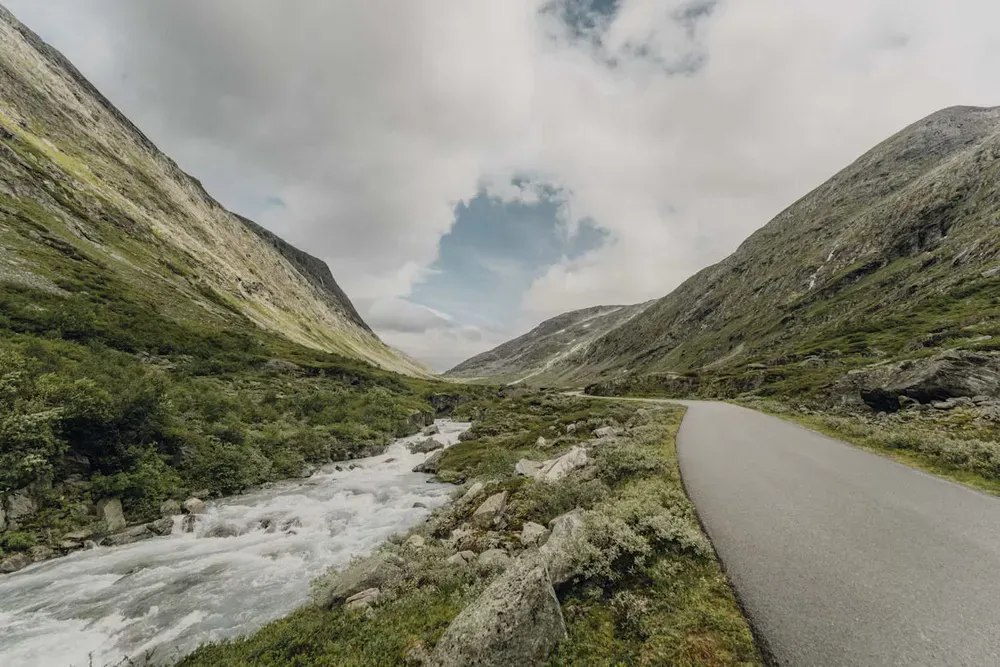
Directions, Fjærland to Stryn (about 62 miles / 100 km, 1 hour 30 minutes): Continue on Rv 5 to Skei for 30 minutes, then follow the E39 north to Byrkjelo and Rv 60 to Stryn. Loen and Olden, the next two fjord villages, are on the same road a few minutes beyond.
Nordfjord is where Norway's glaciers come closest to the road. In Loen, the Loen Skylift lifts you to the summit of Mount Hoven, 1,011 metres above the fjord, in just a few minutes. In Olden, a 24 km valley road leads to Briksdalsbreen, an arm of the Jostedalsbreen ice cap. From the Briksdal parking area, it's a walk of about 45 minutes each way up to the glacier's edge, or you can ride one of the open "troll cars."
A word of warning: There's no railway in Nordfjord, and this is the most remote stretch of the route. If you're not planning to complete the northern half of the loop, it's best to exit at Sogndal or Bergen before heading here.
Day 12 is the one people remember. It's long, so start early, fill your tank, and check the road status first. If Trollstigen or the Dalsnibba road is closed, the Hellesylt to Geiranger ferry is a convenient fallback.
Directions, Stryn to Geiranger (62 miles / 100 km, 1 hour 45 minutes): From Stryn, follow Rv 15 east over Strynefjellet, taking the historic Gamle Strynefjellsvegen if it is open. Near Grotli, join Fv 63 toward Geiranger and stop at Djupvasshytta to access the toll road to Dalsnibba, a 1,476-metre summit with panoramic fjord views. Continue down to Geiranger along the winding mountain road, stopping at Flydalsjuvet for one of Norway's most iconic views of the fjord.
The Geirangerfjord, a UNESCO World Heritage site, is lined with waterfalls, including the Seven Sisters, best seen from a fjord sightseeing boat.
Directions, Geiranger to Åndalsnes (about 70 miles / 110 km, 3 hours with the ferry and stops): Leave Geiranger on Fv 63, following the Ørnevegen hairpin bends to the Ørnesvingen viewpoint before descending to Eidsdal. Take the 10- to 15-minute car ferry from Eidsdal to Linge, then drive through Valldal toward Trollstigen, a dramatic mountain road with 11 hairpin bends and views of the 320-metre Stigfossen waterfall. Stop at the Trollstigen Plateau viewing platforms, but check seasonal access as the road closes in winter.
Continue to Åndalsnes, set beneath Trollveggen (the Troll Wall), Europe's tallest vertical overhanging rock face at 1,100 metres. For spectacular views over the town and surrounding mountains, hike to the Rampestreken viewpoint.
Exit point and shortcut: Åndalsnes is the best place to leave the loop, or to cut out the northern coast. The Rauma Line is a scenic railway that runs from Åndalsnes to Dombås in about 1.5 hours, passing Trollveggen and the Kylling Bridge, where you can connect with the Dovre Line to Oslo. By car, take the E136 east from Åndalsnes to Dombås (about 1.5 hours) and then read on from the Dovrefjell, Lillehammer and the Road Back to Oslo section. This skips Ålesund, the Atlantic Road, and Trondheim, and cuts around five days from the route.
Directions, Åndalsnes to Ålesund (75 miles / 120 km, about 2 hours): Take the E136 west from Åndalsnes. It follows the Romsdalsfjord and passes Isfjorden and Vestnes before ending in Ålesund.
After a fire destroyed the town in 1904, Ålesund was rebuilt in just three years in the Jugendstil (Art Nouveau) style, with turrets, spires, and ornate façades in pastel colours. Ascend the 418 steps of Aksla hill for a view of the harbour, islands, and Sunnmøre Alps. Descend and visit the Atlantic Sea Park (Atlanterhavsparken), a large aquarium on the coast.
Exit point: Ålesund Airport (AES) has regular flights to Oslo and Bergen, making this a stress-free place to end the road trip. You can return your rental car in town and fly home without the long drive back.
Directions, Ålesund to Molde (2 hours with the ferry): Take the E136/E39 back east for an hour to reach Vestnes, then board the E39 car ferry from Vestnes to Molde, which takes 35 minutes and departs frequently throughout the day. If you're pressed for time, skip Ålesund altogether and take the Åfarnes to Sølsnes ferry from Isfjorden, which links Åndalsnes more directly to Molde.
Molde, otherwise known as the "Town of Roses," faces a panorama of mountain peaks across the fjord and hosts its famous jazz festival each July. Walk up to the Varden viewpoint to snap a photo.
Directions, Molde to the Atlantic Road and Kristiansund (50 miles / 80 km, 1 hour 15 minutes): Leave Molde on Fv 64 heading west. Around 47 km from Molde, you reach the Atlantic Road (Atlanterhavsveien), an 8.3 km stretch with eight bridges that hop between skerries and islets. The most photographed is the curving Storseisundet Bridge, which seems to launch skyward at one end.
Kristiansund is built across four islands, and its history of salted cod (klippfisk) is celebrated in local restaurants serving bacalao. Take the little boats that crisscross the harbour and enjoy a quiet evening.
Exit point: Both Molde and Kristiansund have their own small airports with flights to Oslo, so you can finish the trip after the Atlantic Road without driving to Trondheim. Check flight availability for your dates before you book your rental car's return.
Directions, Kristiansund to Trondheim (175 miles / 285 km, 4 hours 45 minutes): Take Rv 70 east through Tingvoll and Sunndalsøra, following the Sunndal valley and the cusp of Dovrefjell–Sunndalsfjella National Park to Oppdal (approximately 2 hours 30 minutes). At Oppdal, join the E6 north and drive about 1 hour 45 minutes to Trondheim.
Once Norway's capital, Trondheim is best known for Nidaros Cathedral, a magnificent Gothic landmark and the traditional destination of pilgrims following St. Olav's Way from Oslo. Cross the red Old Town Bridge into Bakklandet, where cobbled streets are lined with cafés and colourful wooden buildings.
Continue along the river past historic wharf warehouses, then visit Kristiansten Fortress for panoramic views across the city. If time allows, explore the Sverresborg open-air folk museum to discover more of Norway's history and traditional architecture.
Skip Trondheim: Not everyone needs the detour north. At Oppdal, turn south on the E6 instead of north and read on from the Dovrefjell, Lillehammer and the Road Back to Oslo section. This skips the city and cuts about 3.5 hours of driving from the route.
Exit point: Trondheim is the final big city on the loop, and the best place to end the trip if you'd rather skip the drive south. Trondheim Airport, Værnes, has frequent flights to Oslo, and the Dovre Line train to Oslo takes roughly 6.5 to 7 hours, crossing the mountains of Dovrefjell along the way.
Directions, Trondheim to Dovrefjell (155 miles / 250 km, 3 hours 15 minutes): Follow the E6 south through Oppdal to Hjerkinn in Dovrefjell, a region known for its wild mountain landscapes and musk oxen. Join a guided musk ox safari for the chance to spot these impressive animals in their natural habitat or visit the Snøhetta viewpoint pavilion for views of the 2,286-metre mountain. Spend the night in Dombås or the surrounding area.
Exit point: Dombås has a railway station on the Dovre Line, so you can leave the car behind here and ride to Oslo in about four hours (rental drop-off fees apply). It's also where the Rauma Line meets the main line, making it an easy link to Åndalsnes.
Directions, Dovrefjell to Lillehammer (110 miles / 180 km, 2.5 hours): Follow the E6 south through Dombås, Otta, and the Gudbrandsdalen valley. If you're feeling up for one last hike, detour into Rondane National Park, Norway's oldest national park. You can also visit Ringebu Stave Church, around 45 minutes north of Lillehammer, to see one of Norway's historic wooden churches.
In Lillehammer, explore the former 1994 Winter Olympics venues, including the Lysgårdsbakkene ski jumps, and visit Maihaugen, an open-air museum showcasing Norwegian life and architecture. In summer, consider a cruise on Lake Mjøsa aboard the historic paddle steamer Skibladner, which has been operating since 1856.
Skip by train: If you'd rather not drive the last stretch, take the Dovre Line from Lillehammer to Oslo in around 2 hours 15 minutes. Many services continue to Oslo Airport, Gardermoen, which is handy if your flight is the next morning.
Directions, Lillehammer to Oslo (110 miles / 180 km, 2 hours 15 minutes): Follow the E6 south along the eastern shore of Lake Mjøsa, passing Hamar and Gardermoen Airport, into Oslo. Return the rental car, and you'll have just enough time for a last waffle by the harbour.
And that's it: you've made it all the way around Norway! Over the course of 18 days, you'll have sailed past the white-painted villages of the south, stood on the edge of Pulpit Rock, wandered the wharf in Bergen, crossed the deepest fjords in Europe, conquered the hairpins of Trollstigen, and watched the Atlantic crash around the Atlantic Road. Whether you've driven every mile or swapped a stretch or two for a train, you've seen the very best the country has to offer. Take a moment by the harbour to let it all sink in. Then start planning your next trip, because Norway has plenty more up its sleeve, from the Lofoten Islands to the Arctic north.
Here are the main ferry crossings mentioned on this road trip, along with a few other useful routes nearby:
| Crossing | Typical time | Sailings / week | Runs |
|---|---|---|---|
| Hirtshals → Kristiansand | 3h 19m | 29 | All year |
| Hirtshals → Larvik | 4h 00m | 13 | All year |
| Hirtshals → Stavanger | 11h 45m | 7 | All year |
| Hirtshals → Bergen | 17h 45m | 7 | All year |
| Kiel → Oslo | 20h 00m | 7 | All year |
| Sandefjord → Strömstad | 2h 30m | 13 | All year |
| Stavanger → Bergen | 5h 30m | 7–13 | All year |
| Bergen → Rosendal | 1h 55m | 12 | All year |
| Bergen → Balestrand | 4h 00m | 14 | All year except Nov–Dec |
| Bergen → Florø | 3h 25m | 11 | All year |
| Bergen → Måløy | 4h 40m | 11 | All year |
| Flåm → Aurland | 10m | 7 | Apr–Oct |
| Sogndal → Balestrand | 45m | 7 | All year except Nov–Dec |
| Balestrand → Leikanger | 20m | 14 | Apr–Oct |
| Måløy → Selje | 28m | 11 | All year |
Please note that sailing times and the number of weekly sailings are subject to change depending on when you travel. Always check the respective route page before booking your tickets.
Ready to turn the plan into a real trip? Whether you're doing the full 18-day loop or a shorter version, it's time to start booking. Book your ferry tickets with Direct Ferries, hit the road and discover the very best of Norway at your own pace!