Things to do Wild Atlantic Way
Things to do Wild Atlantic Way
The Wild Atlantic Way is the longest coastal touring route in the world, stretching 2,500 kilometres from Kinsale in County Cork in the south to Malin Head in County Donegal in the north. Opened in 2014 and immediately recognised as one of the most spectacular driving routes on earth, it follows the entire western seaboard of Ireland along roads that have always been there but are now connected and signposted as a single continuous journey.
This epic route passes through nine different counties: Cork, Kerry, Clare, Limerick, Galway, Mayo, Sligo, Leitrim, and Donegal. Driving the full 2,500km without stopping would take approximately 44 hours. However, if you wish to experience it properly, with time to stop at the viewpoints, walk the headlands, and sit in the pubs, you will require a minimum of two weeks.
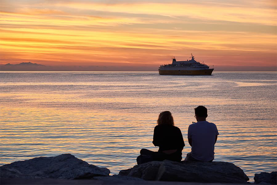
For visitors arriving from the UK, the Wild Atlantic Way is most logically approached by ferry, with entry points at both ends and the middle of the route available, depending on which section you are prioritising.
The Wild Atlantic Way can be joined at any point along its 2,500km length, but for visitors from the UK, the most practical approach is to combine a ferry crossing to Ireland with a drive to whichever section of the route you are prioritising.
There are three main ferry ports that provide access to different parts of this route: Dublin on the east coast, Rosslare in the south east, and Ringaskiddy in Cork to the south.
Having a car is essential for this itinerary. The Wild Atlantic Way is designed as a driving route, and many of its most scenic landmarks can only be reached by car, with some sections also suitable for exploring on foot or by bike.
The Holyhead to Dublin ferry is the most frequent and fastest Irish Sea crossing, while the Fishguard to Rosslare ferry and the Pembroke to Rosslare ferry are the closest crossings to the southern end of the route.
Those arriving from France can take the direct ferry from Roscoff to Cork operated by Brittany Ferries that drops you directly into the starting county of the route.
The Holyhead to Dublin ferry, operated by both Irish Ferries and Stena Line provides up to ten sailings per day, with a crossing time of 2 hours and 15 minutes on the fast catamaran and 3 hours and 30 minutes on the conventional ferry. This is the best ferry for those prioritising Galway, Connemara, Clare, the Aran Islands, Mayo, Sligo, and Donegal.
From Dublin port, Galway city is 2 hours west on the M6 motorway. For Donegal, the drive from Dublin via the M1 and N15 to Sligo takes approximately 3 hours and to Donegal Town approximately 4 hours and 30 minutes.
For visitors arriving from northern England, the overnight ferry from Liverpool to Dublin, operated by P&O Ferries takes approximately 8 hours, and avoids the long drive to Holyhead entirely.
The Fishguard to Rosslare ferry, operated by Stena Line with a crossing time of approximately 3 hours and 30 minutes, and the Pembroke to Rosslare ferry, operated by Irish Ferries with a crossing time of approximately 4 hours, both drop you at Rosslare Europort in County Wexford.
From Rosslare, Cork city is located 2 hours and 30 minutes away on the N25, a straightforward drive that takes you directly to the southern end of the Wild Atlantic Way near Kinsale. These routes also lend themselves naturally to a circular south-west Ireland itinerary, arriving at Rosslare, driving north-west to Galway, exploring Connemara and the west, then returning south via Limerick, Cork, and Wexford before rejoining the Rosslare to Fishguard ferry or the Rosslare to Pembroke ferry for the return crossing.
If you arriving from France,
Brittany Ferries provides a biweekly overnight ferry from Roscoff in Brittany to Cork (Ringaskiddy), that takes approximately 14 to 15 hours. This drops you at the southern gateway of the Wild Atlantic Way without having to detour via England.
The Cork to Roscoff ferry on the return provides a natural end point to a south-to-north Wild Atlantic Way drive. This is the most direct approach for visitors combining the Wild Atlantic Way with time in Brittany or Normandy.
The Wild Atlantic Way can be driven in either direction, and both have their advantages. Starting from Kinsale in the south means driving through Kerry, Clare, Galway, and Mayo before reaching the climactic wildness of Donegal.
Starting from Malin Head in the north delivers the most dramatic scenery first and allows you to end the route in the sunny south of Cork. For most UK visitors arriving by ferry, driving from south to north via Rosslare or Cork and departing via the Dublin to Holyhead ferry from the north is the most logical arrangement, as it covers the full route without backtracking.
The Wild Atlantic Way is inherently a driving route. Therefore, a car is the only practical way to experience the full range of what the route offers. The route is waymarked throughout with distinctive brown signs bearing the Wild Atlantic Way logo, a stylised wave in the shape of a W.
Ireland drives on the left, and speed limits are posted in kilometres per hour: 120km/h on motorways, 100km/h on national primary roads, 80km/h on regional roads, and 50km/h in urban areas.
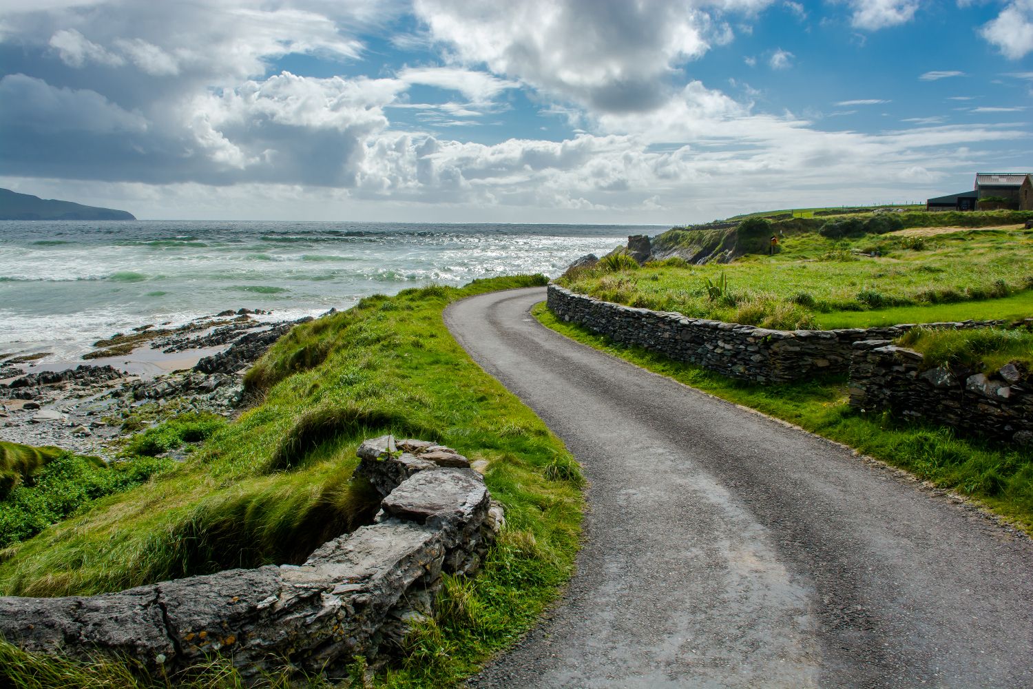
The roads of the Wild Atlantic Way can vary in their quality. Fast, well-maintained national routes connect the main towns, but when you venture into Connemara, Donegal, or the Dingle Peninsula, expect the roads to narrow into single-lane coastal roads.
Atlantic weather can alter road conditions at any time of year. High winds and heavy rain are always likely, and in winter, ice is not uncommon. It is worth treating forecasts seriously before setting out on any exposed coastal stretch.
Fuel is another factor you must keep in mind while travelling. Petrol stations grow sparse on the more remote peninsulas, so it is always wise to fill your tank before heading into isolated sections rather than relying on finding a station along the way.
Last but not least is signage. In Gaeltacht areas, which include much of Connemara, the Aran Islands, and parts of Donegal, road signs are only displayed in Irish. We suggest downloading an offline map or familiarising yourself with place names before you travel to prevent considerable confusion on the road.
The full 2,500km route, driven from start to finish without stopping, would take approximately 44 hours. In practice, a minimum of two weeks is required to cover the full route with adequate time at the major attractions, while three weeks allows a more relaxed pace.
Most visitors cover the route in segments across multiple visits: the southern section (Cork and Kerry) as one trip, the middle section (Clare, Galway, Mayo) as another, and the northern section (Sligo, Leitrim, Donegal) as a third. Each section can be explored in a long weekend or a week by arriving via the closest ferry port.
The Wild Atlantic Way is one of the best-signposted driving routes in Europe. The distinctive brown and white WAW signs pop up at every junction and turning point along the route, with arrows to point you in the right direction.
The 150+ Discovery Points are marked with roadside panels that provide detailed information about each location, while the 15 Signature Discovery Points have more substantial visitor infrastructure. The official Wild Atlantic Way app offers a GPS map of the route with Discovery Point information, walking trail details, and accommodation listings.
The Wild Atlantic Way is suitable to drive all year round, with each season offering a distinctly different experience. Summer is the most popular time to drive the Wild Atlantic Way, though spring and autumn offer a perfect balance of manageable traffic and full access to accommodation and attractions. Driving on the Wild Atlantic Way during the winter requires preparation and flexibility but also delivers the most authentic experience of the Atlantic coast.
Spring temperatures along the route typically range from 9°C to 16°C, and the western Irish landscape is arguably at its most vivid during this season. April and May bring an intensity of green that is breathtaking, with gorse blazing gold across the cliff slopes and the first wildflowers beginning to push through.
The tourist infrastructure is fully operational by spring, but without the pressure that July and August inevitably bring. Accommodation is available without booking weeks in advance, and the Discovery Points along the Wild Atlantic Way are often quiet.
For the more adventurous, sea temperatures of 10°C to 12°C make wild swimming a genuine possibility. Whale watching season also gets underway in April, with the first humpback and fin whale sightings appearing off the coasts of west Cork and Kerry.
Perfect for: the Burren wildflowers (May), Aran Islands without crowds, whale watching from west Cork, the Connemara landscape in spring light, and the best accommodation value before the peak season.
Summer brings the Atlantic coast fully to life. Temperatures can reach 18°C to 22°C on the warmest days, and the light is nothing short of extraordinary. In late June, sunset in Donegal falls after 10pm, and the long Atlantic twilights stretch the usable hours of the day well beyond what most visitors are accustomed to.
From a cultural standpoint, summer is the richest season on the route. The Galway International Arts Festival in July and the Galway Races in late July headline a calendar that extends across dozens of local festivals throughout the coastal towns.
July and August are the most congested months, particularly on the Ring of Kerry, the Dingle Peninsula, and around the Cliffs of Moher, where coach traffic can bring the narrower roads to a frustrating crawl. Accommodation on the most popular sections fills quickly, and booking months in advance is essential.
Perfect for: the longest days and best light for coastal photography, the Ring of Kerry and Dingle Peninsula in full summer, the Galway festival season, sea swimming and surfing season at Lahinch and Bundoran, and the full programme of island ferry services.
September and October are arguably the best months to embark on a Wild Atlantic Way road trip. The summer crowds have gone, and accommodation prices drop significantly. Whale watching off west Cork and Kerry reaches its peak in September and October, with humpback and fin whales at their most present in the offshore waters. The Galway International Oyster Festival (late September) and the Cork Jazz Festival (late October) are the outstanding autumn cultural events.
Perfect for: whale watching at its peak off west Cork and Kerry, the Galway Oyster Festival, Donegal in autumn colour, the best accommodation value across the entire route, and the quietest visits to all the major Discovery Points.
Winter is a seriously underrated time to drive the Wild Atlantic Way. Storm watching at Mizen Head, Slieve League, the Cliffs of Moher, and Malin Head is among the most extraordinary natural experiences Ireland has to offer. In the midst of a south-westerly gale, waves of up to 20 metres crash against the cliffs with extraordinary power.
Winter also brings a quieter spectacle to the northern stretches of the route. The Northern Lights are visible from the Donegal coast and the headlands of north Mayo during periods of high solar activity, usually between November and March.
Perfect for: storm watching at Mizen Head, Slieve League, and the Cliffs of Moher, Northern Lights from Donegal and north Mayo, the most authentic and uncrowded experience of the route, and the lowest accommodation rates of the year.
This is a county-by-county guide to the Wild Atlantic Way, moving from south to north through its most significant sections and essential attractions. Each county represents a destination in its own right, with its own unique charm and character. But it is the cumulative experience of travelling them in sequence that makes the Wild Atlantic Way one of the great road trips of the world.
The Wild Atlantic Way starts in Kinsale, the handsome medieval harbour town in County Cork, with its brightly coloured streets and its abundance of seafood restaurants that has made it the gourmet capital of southern Ireland. From Kinsale, the route continues south and west, passing through fishing villages, hidden beaches, and Atlantic headlands. A notable landmark along the way is Barleycove Beach near Crookhaven. This 3km white-sand beach at the head of Dunmanus Bay is one of the best beaches in Ireland and is almost entirely uncrowded outside August.
Mizen Head Signal Station, at the south-westernmost point of the Irish mainland, is reached by a suspension footbridge over a channel and gives views of the most elemental coastal scenery on the route — the signal station building, used as a fog horn station from 1910 to 1993, is now a heritage centre with a stunning clifftop location.
The drive north through Schull, Ballydehob, and Bantry passes through some of the most characterful small towns in west Cork. Glengarriff, at the head of Bantry Bay, is a Victorian resort village famous for its sub-tropical garden on Garinish Island, where palms and tree ferns grow in the warm microclimate of the sheltered bay.
The Beara Peninsula is not only the most southerly of Kerry's five Atlantic peninsulas, but is also the least visited and most dramatically unspoiled of all the peninsulas on the Wild Atlantic Way. The 200km Ring of Beara circuit starts at Glengarriff, proceeds west through Castletownbere, and continues to Allihies before crossing the Healy Pass and returning to Kenmare.
The only cable car in Ireland serves Dursey Island at the far western tip, crossing a 300-metre channel above the sea in a four-minute ride. The island itself, car-free and accessible only by cable car or boat, has clifftop walks of extraordinary solitude.
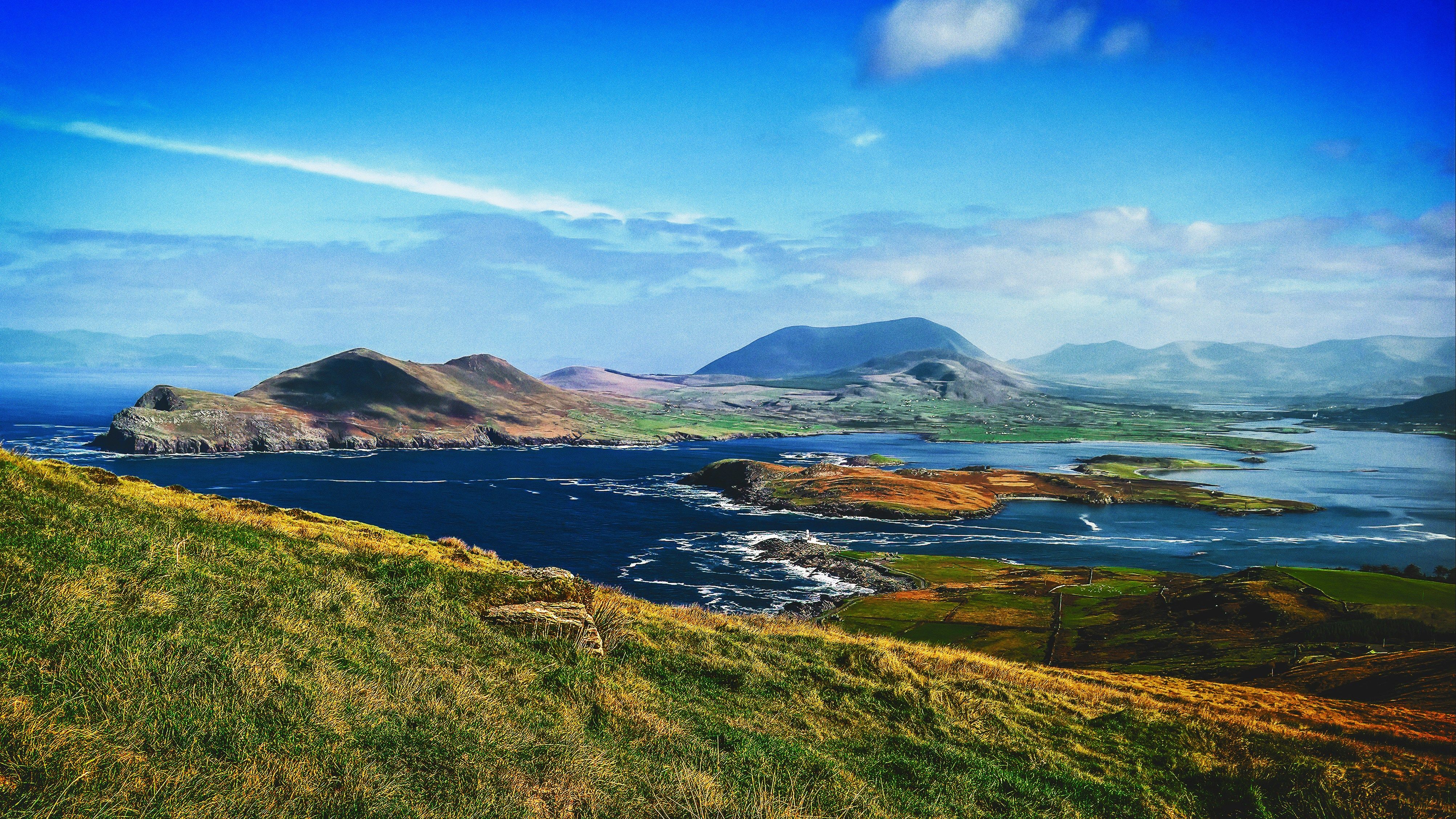
A 179km circuit of the Iveragh Peninsula, The Ring of Kerry is Ireland's most famous scenic driving route. The route runs from Kenmare in the south-east, then west along the southern shore through Sneem, Caherdaniel, and Cahirciveen, before turning north along the western shore through Waterville and Portmagee.
The two Skellig Islands, visible from Portmagee, are among the most remarkable sites on the Wild Atlantic Way. Skellig Michael, a pyramid of rock located 12km offshore, holds a 6th-century Christian monastery accessible via 618 stone steps. It was declared a UNESCO World Heritage Site in 1996 and was the filming location for Luke Skywalker's island retreat in Star Wars. All boat trips to the Skellig Islands leave from Portmagee and Ballinskelligs from April to October.
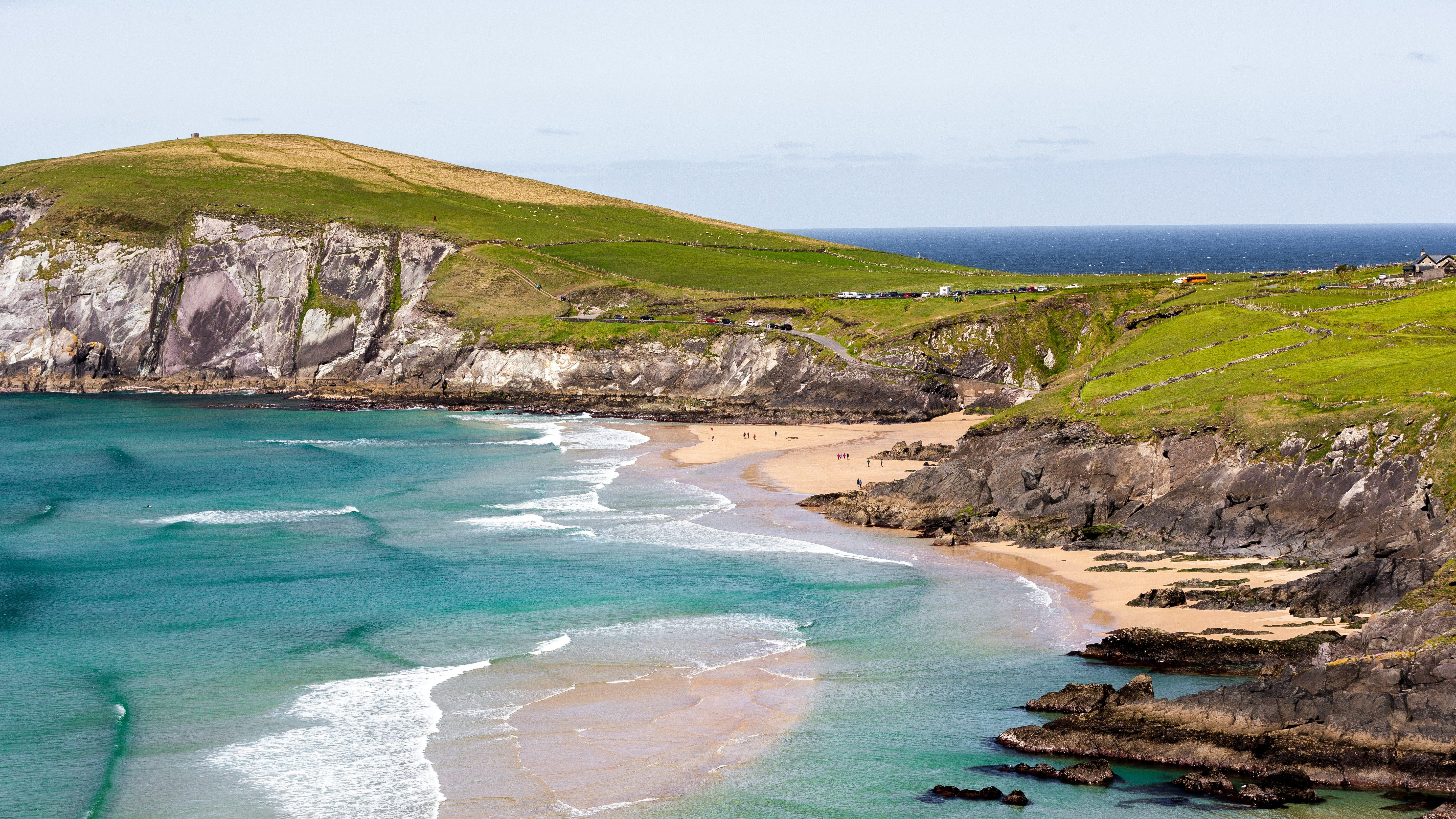
The Dingle Peninsula is widely regarded as the finest section of the entire Wild Atlantic Way, and the Slea Head Drive makes the argument convincing. This 47km circular route from Dingle town is incredibly rewarding, threading together an abundance of natural drama and ancient history within a relatively compact loop.
The route takes you past Ventry Beach, the extraordinary Fahan group of beehive huts and the Dunbeg Promontory Fort, an Iron Age fort perched 30 metres above the Atlantic. Coumeenoole Beach and Dunmore Head, the westernmost point of the European mainland, crown what many consider to be the best leg of the journey.
The Wild Atlantic Way crosses the Shannon Estuary via a 20-minute ferry between Tarbert in Kerry and Killimer in Clare. At the southernmost point of County Clare is The Loop Head Peninsula, one of the route's hidden gems. This is a 30km stretch of land with a lighthouse at its tip and beautiful sea cliffs along its western shore that attract none of the coach traffic that converges on the Cliffs of Moher further north.
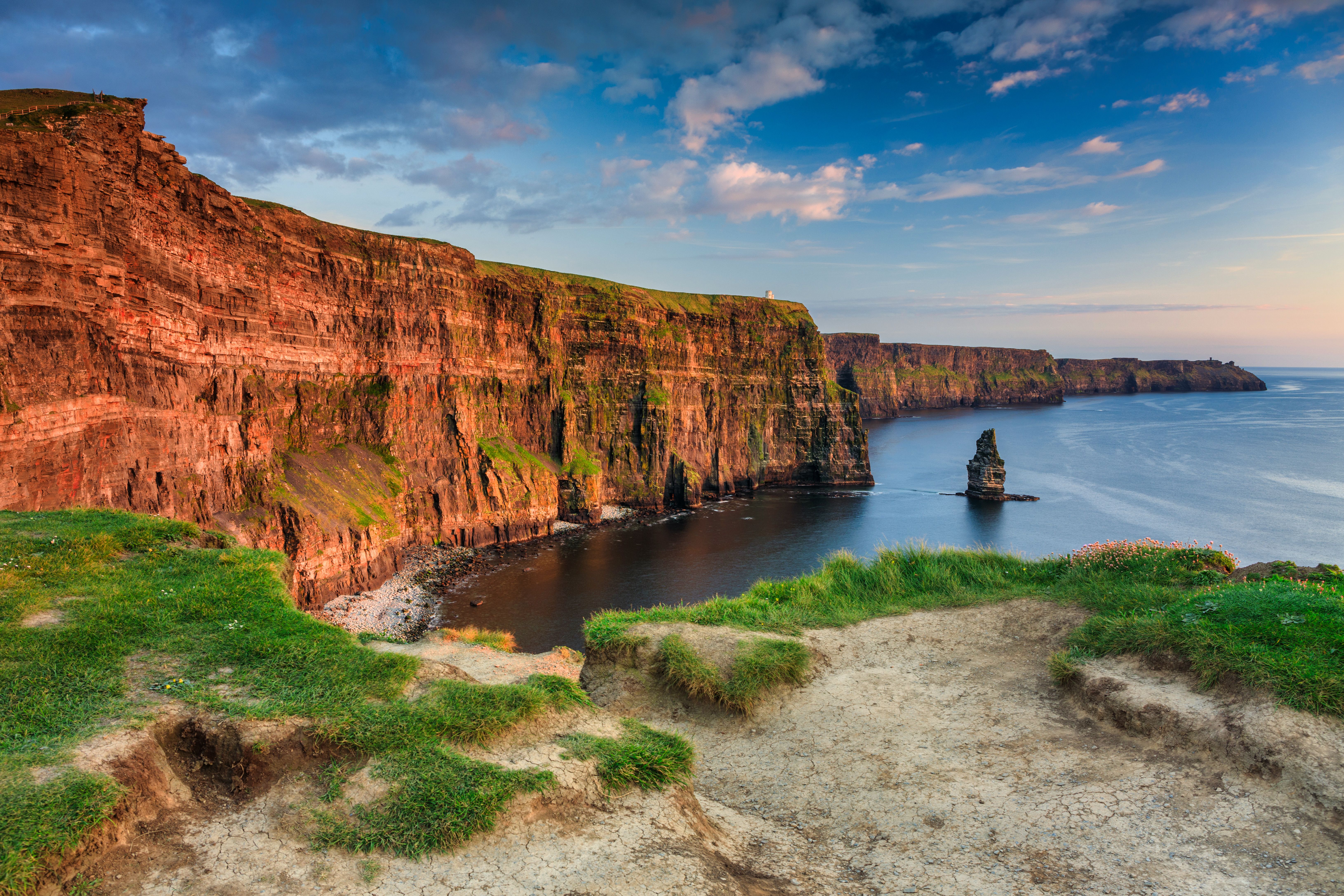
The Cliffs of Moher stretch for 14km along the Atlantic coast, reaching their maximum height of 214 metres above Moher Tower. The cliff path north from the visitor centre provides the most scenic views, whereas the 6km path south to Hag's Head is significantly less crowded and arguably more dramatic.
The Burren is a 250-square-kilometre plateau of limestone pavement that sits between the Cliffs of Moher and Galway Bay. The coastal road through the Burren from Doolin and over Black Head to Kinvara is one of the most spectacular stretches of coastal road in Ireland, with the limestone pavement running to the water's edge and the Aran Islands visible across the bay.
Galway city is the bohemian capital of the Wild Atlantic Way. West of Galway, the Wild Atlantic Way proceeds through the Connemara Gaeltacht on the N59 to Clifden and the Atlantic coast. The Aran Islands can be reached by ferry from Rossaveal and are best known for their prehistoric stone forts.
The Sky Road outside Clifden, the Inagh Valley between the Twelve Bens and the Maumturks, and the Kylemore Abbey valley are the notable highlights of the Connemara section.
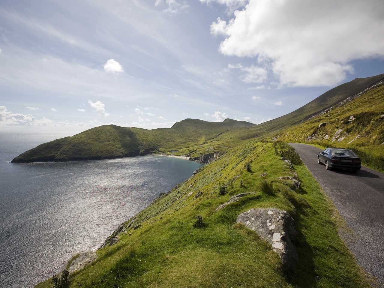
The Wild Atlantic Way enters County Mayo at the head of Killary Harbour, which is Ireland's only true fjord. A great detour is Achill Island, Ireland's largest island and connected to the mainland by bridge. The island has five Blue Flag beaches, the towering sea cliffs of Croaghaun, and the haunting deserted village of Slievemore, where 97 stone cottages abandoned during the Famine remain untouched on the mountain's north slope.
The final highlight of the county is one of the most remarkable prehistoric sites in the world. The Céide Fields, located 70km north of Westport, preserve 12 square kilometres of Neolithic farming landscape dating back to around 3500 BCE.
County Sligo packs a remarkable array of natural drama and ancient history into a relatively short stretch of the Wild Atlantic Way. Mullaghmore Head is a Signature Discovery Point and a prominent big-wave surf location. The reef produces waves up to 20 metres high in a heavy Atlantic swell, and on a clear day, the views north to the flat-topped silhouette of Benbulben are truly stunning.
Benbulben itself takes up much of the Sligo landscape, rising to 526 metres. It is also a place of literary pilgrimage: W.B. Yeats is buried beneath its shadow in the churchyard at Drumcliffe. Just outside Sligo town, the Carrowmore Megalithic Cemetery is the largest megalithic complex in Ireland, comprising over 60 passage tombs dating back to 4300 BCE.
The county's gateway to the south, Bundoran, serves as the Wild Atlantic Way's surf capital. Where the Atlantic swell meets the bays of south Donegal, year-round waves and a network of surf schools make it one of the most accessible surfing destinations in Ireland.
The Wild Atlantic Way is, among many other things, one of the best food trails in Europe — and Ireland have the sea to thank for that. Along 2,500km of Atlantic coastline, fresh lobster, crab, native oysters, mussels, sea bass, and Atlantic salmon appear in restaurants and harbourside fish shops throughout the route.
Further inland, the west Cork farmhouse cheese tradition — Gubbeen, Milleens, Durrus, Ardrahan — surfaces at farmers' markets throughout the southern half of the route and is worth seeking out.
Guinness is the standard draught along the way, though in Cork, Murphy's stout is the local preference. In the Gaeltacht areas, the pub is the cultural heart of any village, and on the right evening, a trad session will start quietly in the corner with no announcement whatsoever.
The Wild Atlantic Way offers a wide range of accommodation suitable for every budget. The most evocative options are the farmhouse B&Bs and coastal guesthouses scattered along the route. Alternatively, self-catering cottages and holiday homes are widely available throughout the route, especially on the more remote sections, and give the flexibility of an independent base for multi-day exploration.
The main towns of Kinsale, Killarney, Dingle, Galway, Westport, Sligo, and Donegal offer the widest range of hotel options at all price ranges. Camping and glamping sites are also distributed throughout the route. You can book accommodation via our accommodation page or directly with properties for the best rates.
The Wild Atlantic Way is best treated as a multi-day driving itinerary, using a ferry crossing to arrive at one end of the route and departing from a different ferry port at the other. Here are some of our favourite itineraries, covering a long weekend focused on a single section, and a two-week grand tour of the full route.
Duration: 3–4 days. Best entry: Fishguard to Rosslare ferry or Pembroke to Rosslare ferry, then drive 2 hours and 30 minutes to Cork and onwards to Kinsale.
Day 1: Arrive at Rosslare and drive south-west for 3 hours to Kinsale. Walk around Kinsale harbour and Charles Fort. Stay overnight in Kinsale.
Day 2: Drive west along the Wild Atlantic Way to Old Head of Kinsale, Barleycove Beach and Mizen Head Signal Station. Have lunch in Schull. Spend the afternoon at Bantry Bay. Stay overnight in Bantry or Glengarriff.
Day 3: Drive the Beara Peninsula circuit — Castletownbere, Allihies, Dursey Island cable car, Healy Pass. Stay overnight in Kenmare.
Day 4 (optional): Start the Ring of Kerry from Kenmare, or drive east back to Rosslare for the Rosslare to Fishguard ferry or Rosslare to Pembroke ferry.
Why we love it: West Cork and the Beara Peninsula are the least crowded stretches of the Wild Atlantic Way. The combination of the ferry to Rosslare with the N25 coast road to Kinsale places you at the start of the route in time for an afternoon arrival.
Duration: 14 days. Arrival: Fishguard to Rosslare ferry or Pembroke to Rosslare ferry. Departure: Dublin to Holyhead ferry.
Days 1–2: Arrive in Rosslare. Drive to Kinsale via Cork. Spend the first day afternoon in Kinsale. On Day 2, drive west through Old Head and Mizen Head to Bantry Bay. Stay overnight near Bantry.
Days 3–4: Day 3: Beara Peninsula full circuit — Castletownbere, Allihies, Healy Pass. Overnight in Kenmare. Day 4: Ring of Kerry — Sneem, Caherdaniel, Waterville, Portmagee (Skellig Michael boat trip if pre-booked). Stay overnight in Dingle.
Days 5–6: Day 5: Slea Head Drive full circuit — beehive huts, Coumeenoole Beach, Dunmore Head. Afternoon: Conor Pass. Stay overnight in Dingle or Tralee. Day 6: Drive north to Kilkee and Loop Head Peninsula. Tarbert to Killimer Shannon ferry crossing into Clare. Stay overnight near Kilkee.
Days 7–8: Day 7: Cliffs of Moher (morning — arrive early to beat coaches). Burren coastal road via Doolin, Ballyvaughan, Black Head, Kinvara. Overnight in Galway. Day 8: Galway city — Latin Quarter, Saturday Market, Aran Islands day trip from Rossaveal (pre-book). Overnight in Galway or Clifden.
Days 9–10: Day 9: Connemara — Inagh Valley, Kylemore Abbey, Sky Road. Overnight in Clifden or Westport. Day 10: Achill Island via Westport — Keem Bay, Slievemore deserted village, Atlantic Drive. Overnight on Achill or Westport.
Days 11–12: Day 11: Drive north through Mayo — Downpatrick Head (Dún Briste sea stack), Céide Fields. Overnight in Ballina or Sligo. Day 12: Sligo — Mullaghmore Head, Benbulben, Yeats's grave at Drumcliffe, Carrowmore tombs. Overnight in Sligo or south Donegal.
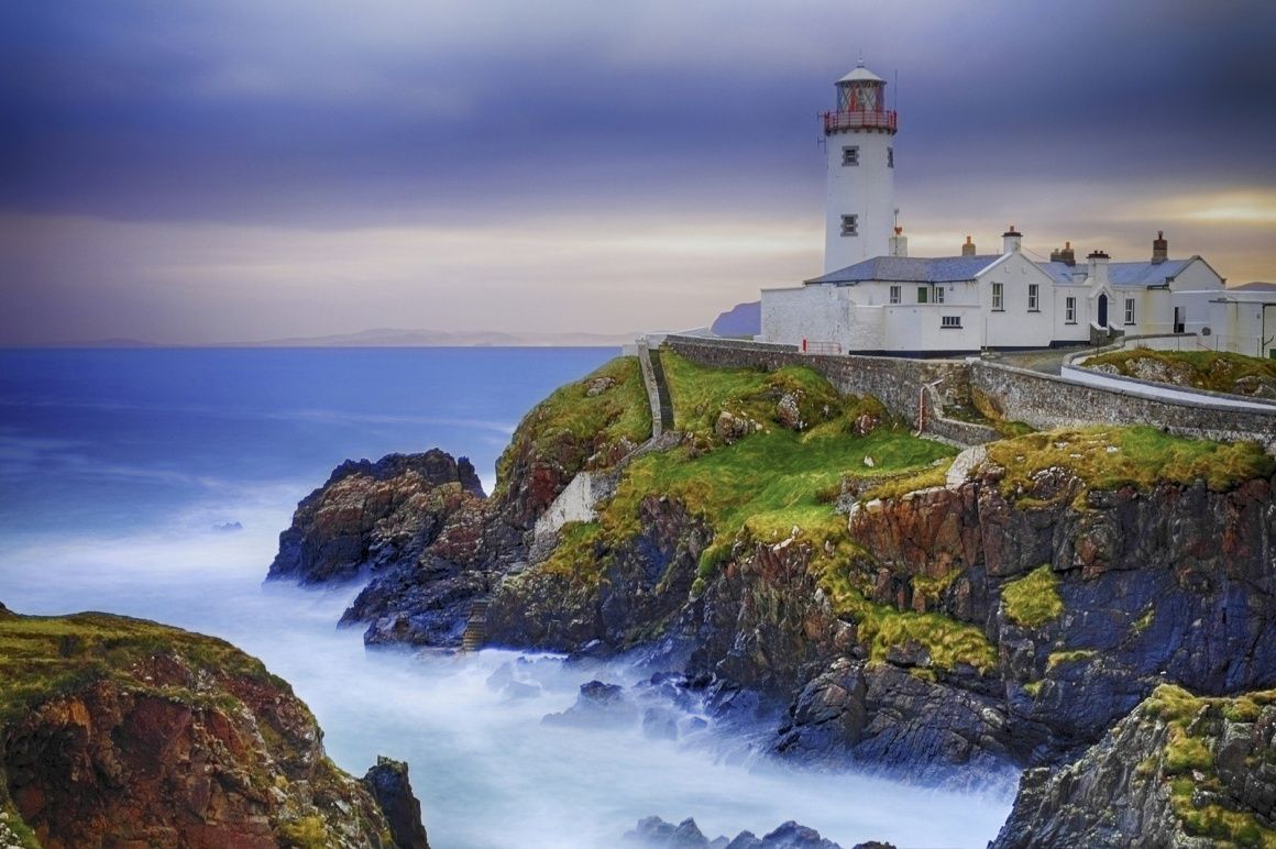
Days 13–14: Day 13: Donegal — Slieve League Cliffs (morning), Glencolumbkille, Glenveagh National Park. Overnight in Letterkenny or north Donegal. Day 14: Fanad Head Lighthouse, Malin Head (Wild Atlantic Way northern terminus). Drive south-east to Dublin for the evening ferry from Dublin to Holyhead.
Why we love it: This itinerary takes advantage of the ferry, arriving at Rosslare via the Fishguard to Rosslare ferry or Pembroke to Rosslare ferry and departing from Dublin on the Dublin to Holyhead ferry. By doing this, you have a natural point-to-point journey across the full length of Ireland's Atlantic coast.
The Wild Atlantic Way is best reached from the UK by ferry to one of Ireland's main east-coast ports, followed by a drive west. There are several routes worth considering depending on where you are travelling from and which section of the route you plan to explore first.
For the northern and middle sections, the Holyhead to Dublin ferry is the most convenient option. Operated by both Irish Ferries and Stena Line, with up to ten daily sailings and crossing times from 2 hours and 15 minutes, it is followed by a straightforward 2-hour drive west on the M6 to Galway.
For the southern section, two good ferry options serve Rosslare Europort: the Fishguard to Rosslare ferry, operated by Stena Line, or the Pembroke to Rosslare ferry, operated by Irish Ferries. From Rosslare, Cork and Kinsale are approximately 2 hours and 30 minutes by road, placing you directly at the southern gateway of the route.
If you’re travelling from France, Brittany Ferries operates a direct overnight crossing from Roscoff to Cork, delivering you to the start of the southern section in a single sailing.
To compare all available ferries to Ireland and find the best crossing for your journey, visit our Ireland ferry page.
Yes, a car is essential for the Wild Atlantic Way. The route is a driving route by nature, and its most scenic landmarks are only accessible by car. Public transport on the Wild Atlantic Way is minimal beyond the main towns. Bringing your car on the ferry is strongly recommended for any Wild Atlantic Way itinerary.
Here are some useful tips that we recommend for driving the Wild Atlantic Way.
More routes than anyone else.

Compare fares, times & routes in one place.
Change plans easily with flexi tickets.

Book e-tickets & manage trips in-app.
Live ship tracking & real-time updates.

Top-rated customer support when you need it.