Nongsapura - Tanah Merah
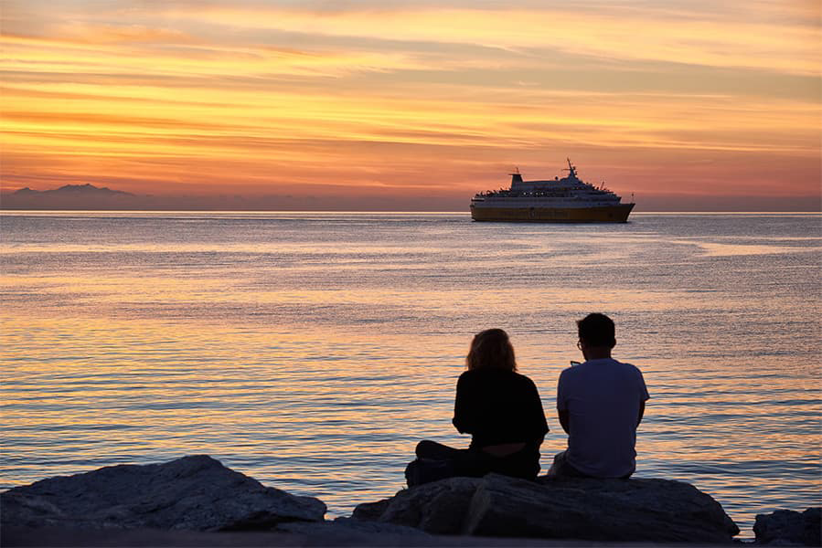
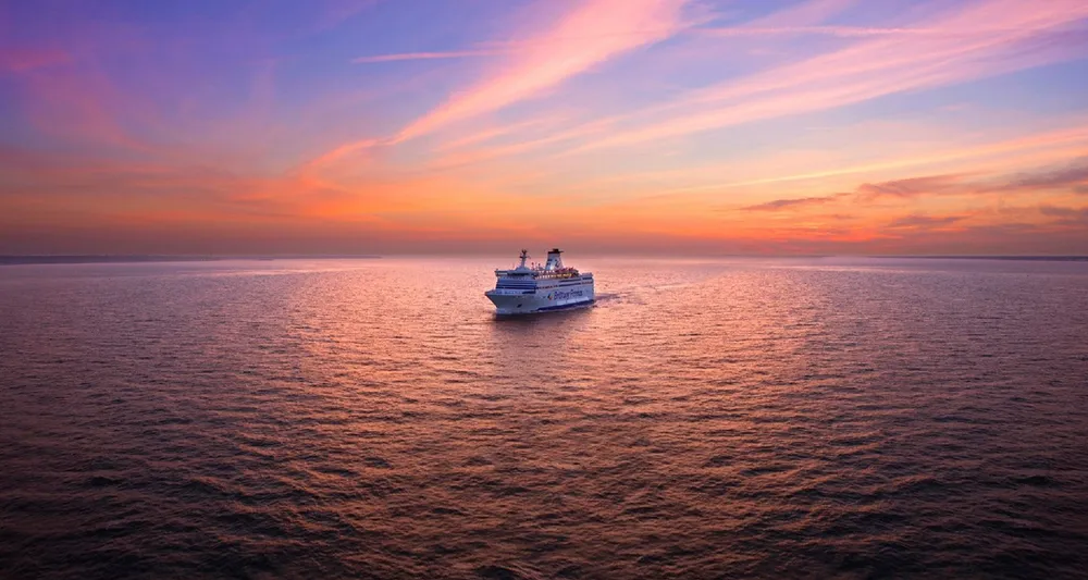
Ferry to Singapore
Nongsapura - Tanah Merah
Ferry to Singapore
Ferries from Nongsapura to Tanah Merah are operated by 1 ferry company; Batam Fast Ferry. The journey usually takes around 50 minutes. There are currently 54 weekly sailings on this ferry route. Prices start from as little as £23 but vary based on season, availability and whether you’re going by foot or by car. Get a quote to compare prices and availability and book your ferry to Tanah Merah today.

Nongsapura Tanah Merah ferry prices tend to range between £23* and £177*. The average price for ferries from Nongsapura Tanah Merah is typically £47*. The cheapest Nongsapura Tanah Merah ferry prices start from £23*. The average foot passenger price is £47*.
Pricing will vary depending on the number of passengers, vehicle type, route and sailing times. Pricing is taken from searches over the last 30 days and is exclusive of service fees, last updated June 26.
We offer a fast way to compare ferry tickets and costs across the world to make your choice smooth sailing. Check out our Special Offers page for discounts on select routes and operators. Remember to book early for the best prices and options!
Yes, Direct Ferries offers a wide range of discounts all year around. When searching for ferries, senior discounts will be automatically applied if they are available. Just select your age range from the passenger options.
Students and graduates can get a 5% discount on ferry tickets. To take advantage of the discount, you need to register with, check out our partner Student Beans and confirm your student or graduate status. You will then receive a discount code which can be entered during the payment process.
Resident discounts are available on a variety of Spanish and Italian ferry routes. Just click on the "Residents" option when this is displayed. The discount is automatically applied to the price. Bear in mind that proof of registration or an identity card with the correct address must be shown at check-in.
The first Nongsapura Tanah Merah ferry typically departs from Nongsapura at around 06:00. The last ferry usually departs at 20:00.
Yes, you can take a day trip between Nongsapura and Tanah Merah. Day trips from Nongsapura to Tanah Merah by ferry are very popular due to the short journey time and daily crossings. If possible, taking a vehicle is also a good way to explore a little further afield, at your own pace, with your own space - if you’re looking for inspiration or things to do when you’re there, check out our blog.
No, ferry operators currently do not allow cars to travel on sailings between Nongsapura and Tanah Merah.
Currently, you cannot take your bicycle on board any ferries from Nongsapura to Tanah Merah.
Yes, foot passengers can travel with Batam Fast Ferry ferries between Nongsapura and Tanah Merah.
Pets are currently not allowed on board the ferries from Nongsapura to Tanah Merah. Use our Deal Finder to find alternative routes that offer travel options for pets.
Please note that even if pets are not allowed on board, different regulations may apply to passengers travelling with guide dogs and assistance dogs. We recommend talking to our customer service to check the specific rules on your preferred sailing. For general information on travelling with assistant dogs and guide dogs, visit our Special Assistance Help page.
Whether an overnight ferry is available on the route between Nongsapura and Tanah Merah depends on various factors. To find out if there is an overnight ferry available simply enter your details, our search results will then provide you with the information whether your preferred ferry sails overnight. Here you can also find the current ferry timetables and crossing times, as well as alternatives for day passages.
Please note that the duration of the night ferries can at times be slightly longer than that of the day ferries.
Travel requirements can vary depending on the route, so it's important to check what documents you'll need before sailing. In most cases, a valid passport is required when traveling from Nongsapura to Tanah Merah, along with any necessary visas or national ID cards. Requirements may differ based on your nationality and the destination country’s regulations. To avoid delays at check-in, you can find helpful information for your journey in our Check-in, Travel Documents & Tickets guide and in our blog post on tips and tricks for international travel.
To book your ferry tickets simply enter your departure and arrival ports and the date you’d like to travel to see all available options and prices. You’ll also be able to view alternative routes and times, so you can find the best deal to suit you.
Look out for early booking discounts or special ticket options such as upgrades or flexi-tickets that allow you to change or cancel your booking. To make your sailing as smooth as possible, make sure you enter all the required information correctly, such as number of passengers and vehicle specifications.
Once you’ve finalised your booking, you’ll receive a confirmation email. It depends on the ferry operator you book with as to how your boarding pass is issued and collected.
Whilst some ferry operators issue the boarding pass as soon as your booking is confirmed, others may ask you to check in at the port. There’s also the option for online check-in, which can be easily done via the Direct Ferries app, if available.
The ticket desks are usually located near the ferry terminals. To avoid any delays at the port, we’d recommend allowing some extra time to collect your tickets and to check-in.
During check-in, you must show your email confirmation, as well as an official photo ID, such as a passport or identity card. You might also be asked to provide documentation for your pet (vaccines, pet insurance etc.) or proof of residence, if you have booked your ticket with a resident discount.
There could be various reasons why there are no departures from Nongsapura to Tanah Merah for the date you’ve requested. For example, a temporary timetable change, limited availability or seasonal changes in the timetable. We recommend checking for alternative dates and routes.
The best time to book ferries from Nongsapura to Tanah Merah is usually as early as possible. By booking in advance, you’ll not only get your tickets at the best available prices, but you’ll also get a better choice of departure times and cabin/seating options.
We’d recommend making your booking at least a few weeks in advance to benefit from the best offers. Bear in mind that prices may vary depending on the season and availability.
More routes than anyone else.

Compare fares, times & routes in one place.
Change plans easily with flexi tickets.

Book e-tickets & manage trips in-app.
Live ship tracking & real-time updates.

Top-rated customer support when you need it.
| Nongsapura - Tanah Merah Ferry Route Prices | ||
|---|---|---|
| Foot Passenger | £47 | |
| Nongsapura - Tanah Merah Ferry Route Summary | |
|---|---|
| Origin | Batam |
| Destination | Singapore |
| No. of Operators | 1 |
| Operators | Batam Fast Ferry |
| Average Price | £47 |
| Average Daily Sailings | 8 |
| Average Weekly Sailings | 54 |
| Average Sailing Duration | 50 m |
| Fastest Sailing Duration | 50 m |
| First Ferry | 06:00 |
| Last Ferry | 20:00 |
| Distance | 7 Nautical Miles |
* Prices subject to change, pricing is taken from last 30 days, last updated 1 June 2026.
Located in the east of Singapore, Tanah Merah is made up of largely private residential properties, country clubs, and some light industrial parks. When land reclamation works began in the early 1970s, most of the coastal hills were levelled and dumped into the sea to create the present East Coast and the East Coast Parkway was constructed almost completely on reclaimed land. The location of Tanah Merah Kechil cliff is where Temasek Primary School now stands and it is possible to see where the hills abruptly end at the junction of Bedok South Avenue 3 and Upper East Coast Road at one end, and New Upper Changi Road at the other end.
Tanah Merah is a Malay phrase that translates into "red soil". Tanah Merah was once a hilly area with two prominent cliffs: Tanah Merah Besar, a large cliff, and Tanah Merah Kechil, a small cliff. The roads leading to the cliffs were named Tanah Merah Besar Road and Tanah Merah Kechil Road respectively. The names remain today.
The area is also home to the Tanah Merah Ferry Terminal with regular services to the Indonesian Riau Islands.
The Best Beach Holidays in Italy for Families
Summer Holidays 2026: The Best Destinations in Europe (Part 1)

Pride Season 2026
Travel checklist: Packing for the ferry

The 24 Hours of Le Mans 2026 Guide

Island Hopping in Thailand: Speedboat vs Ferry
Take the scenic route to Spain with Brittany Ferries
Holyhead to Dublin: Alternative ferry routes
Portsmouth to Caen: Alternative ferry routes

Dover to Calais: Alternative ferry routes